Product Details
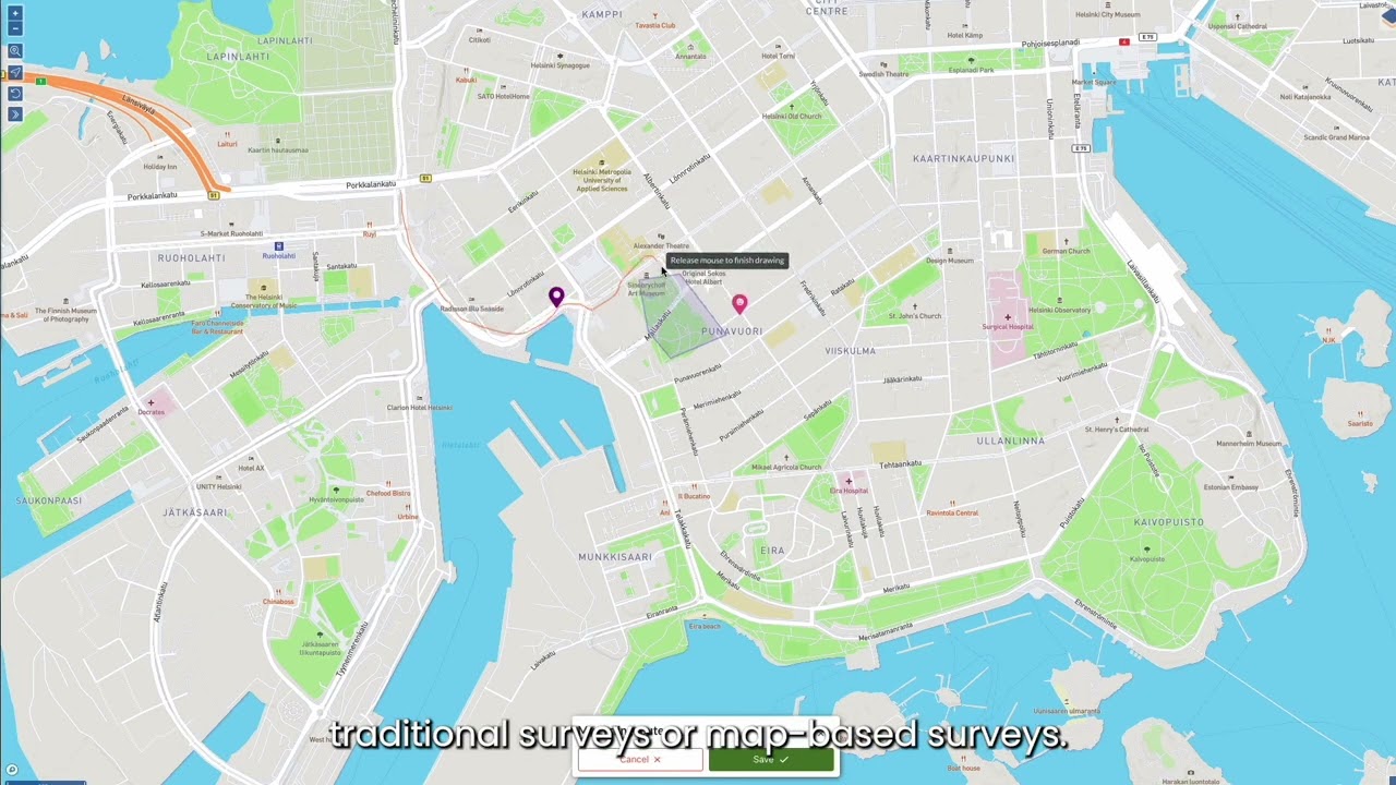
Maptionnaire is a user-friendly community engagement platform that lets city planners easily create interactive, map-based surveys, webpages, and data visualizations—turning resident input into GIS-enabled insights for informed, inclusive planning.
Product Demo
YOUTUBE
Product Features
| Feature | Description |
|---|---|
|
Map-Based Surveys & Standard Question Types
|
Combines spatial input (points, lines, areas) with traditional survey questions—no GIS expertise needed.
|
|
Interactive Engagement Webpages
|
Built-in webpage builder enables planners to host project information, surveys, and updates in one branded space.
|
|
In-App Analysis & GIS Export
|
Provides heatmaps, charts, and easy GIS exports for deeper analysis and decision-making.
|
Customers Using This Product
| Customer | Project Details | Actions |
|---|---|---|
|
City of Tallinn, Estonia
|
Used map-based voting to involve residents in selecting public art for a new green mobility corridor, blending digital engagement with urban design.
|
|
|
City of Denver, CO
|
Utilized Maptionnaire for neighborhood and citywide planning projects to gather resident feedback on livability, mobility, affordable housing, and more.
|
Product Case Studies
Is this your product?
This profile was created by our team. If this is your company's product, you can claim ownership.
Claim this profileHave questions, want more info or need a personalized demo?
Get in touch to learn more about this solution.
Create an account to continue browsing
Sign up to explore our full marketplace of government technology solutions.
Create AccountVideo Access Restricted
This video is available for approved government agencies and departments. Sign up for an account to view this content.